Five minutes at a time.
A new composite from the national radar networks every five minutes, rendered to the pixel the moment it lands. Scroll to move through the last two hours.
 meteocool
Open live map
meteocool
Open live map
Rain radar every five minutes, every storm cell tracked automatically, and the whole sky in three dimensions. Built on Europe's open radar networks. Free, open source, and on every screen you own.


Rain radar
A new composite from the national radar networks every five minutes, rendered to the pixel the moment it lands. Scroll to move through the last two hours.
The loop does not stop at now. A physics-based nowcast carries every shower forward, so you see where the rain is heading, not only where it has been.
Germany's DWD composite stitched with the networks of Switzerland, France, Czechia and Poland. Borders are for maps, not for weather.
Storm tracking
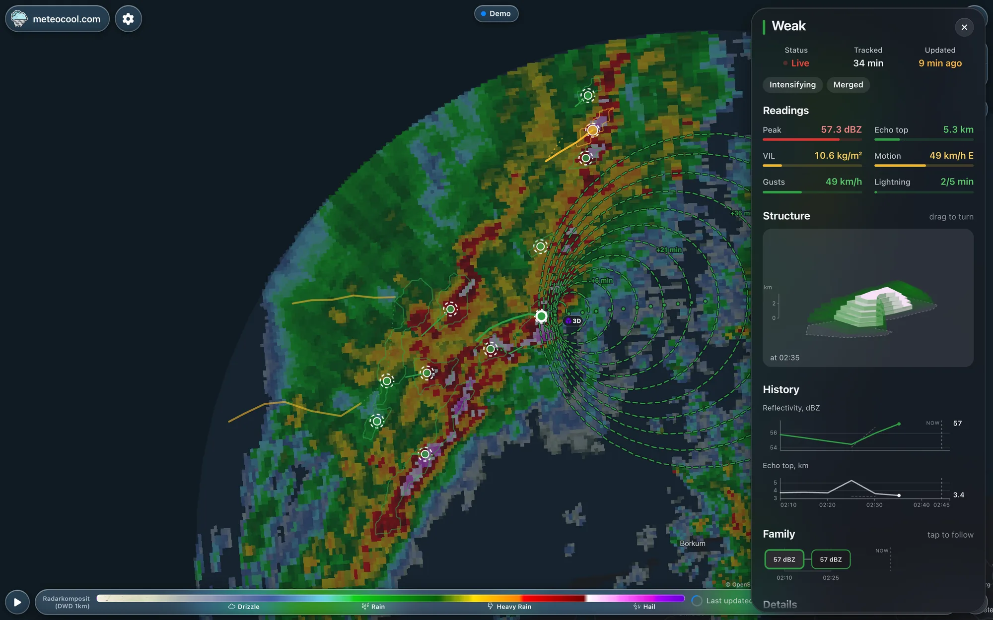
Convective cells are detected in each composite and given a code, a severity, a peak reflectivity and an echo top. No squinting at colours.
Cells are matched from scan to scan into tracks. Splits and merges are kept as a family tree, so a storm's history travels with it.
Motion vectors become a forecast: where each cell will be in fifteen, thirty, sixty minutes. Tap your place and read off when it arrives.
The storm sheet
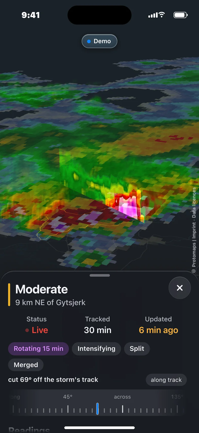
Open any cell and get its readings, its history, its family and a 3D model of its structure, straight from the radar volumes.
Storms in 3D
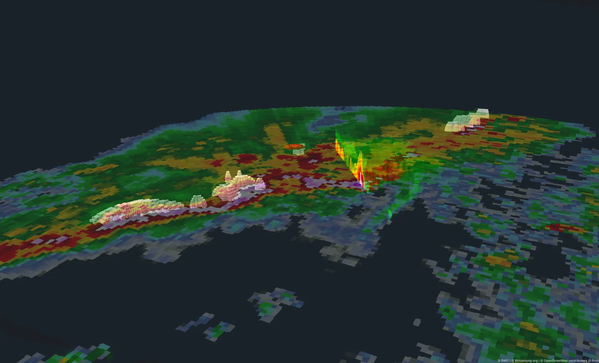
The radar does not only scan the ground. meteocool rebuilds the full volume from every sweep and lets you fly around it, cut it open and read a slice at any altitude.
Apps
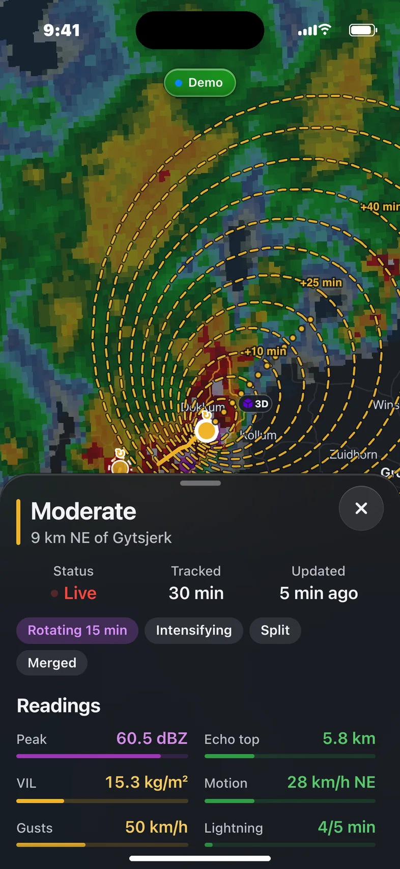
Native apps for iOS and Android with push alerts when rain is about to reach you, background location updates, and every feature of the web map, 3D included.
Plans
Everything you have seen stays free and open source. Pro adds the tools chasers and radar enthusiasts asked for.
€0 forever
Everything on this page. No account, no ads, no limits.
€6 per month
For the storm-chasing community and anyone who reads radar for fun.
Custom
For teams that need meteocool's data or map inside their own product.
Every frame, track and reading above was captured from meteocool's demo replay of the German Bight convection. The live map has today's weather.